equal-earth-web-maps
Equal Earth Web Maps
About
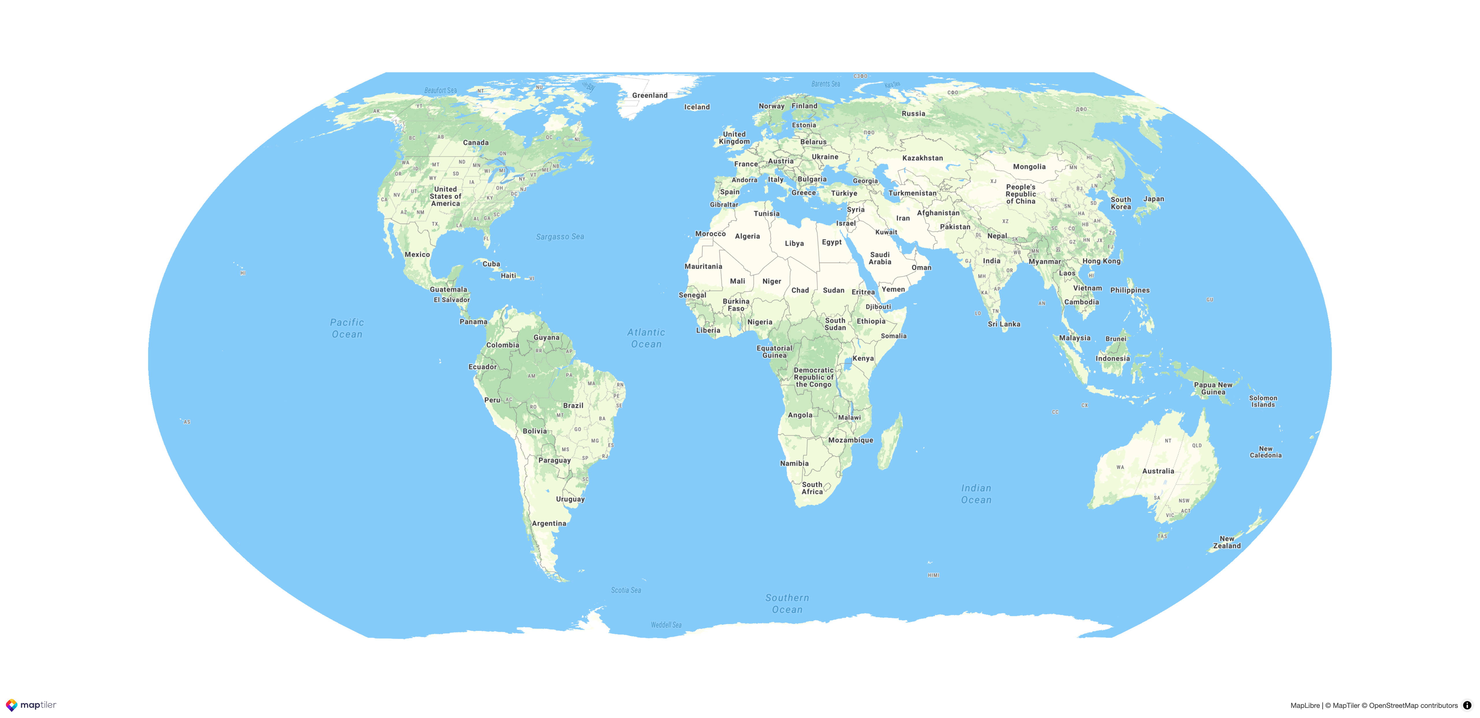
This project implements the dynamic Equal Earth projection as a first-class feature in MapLibre GL JS, the engine powering maps for millions of users. As part of the Next Generation Internet initiative, it provides a vital alternative to standard Mercator-based web maps.
Most web maps distort global geography, making high-latitude regions like Greenland and Russia appear disproportionately large while shrinking Africa and equatorial nations. The Equal Earth projection maintains accurate relative land sizes, ensuring that thematic data (represented by colors, patterns, or 3D elements) is communicated with proportional accuracy. This is a game-changer for journalists, data scientists, educators, and developers, and it is essential for correcting geographic perceptions among the general public.
Our project makes non-Mercator alternatives effortless to adopt. A single line of code can switch the projection while correctly transforming all overlays, vector and raster map tiles and map styles. The view is adaptive, allowing for a smooth transition back to Mercator at high zoom levels. This BSD-licensed implementation utilizes production-ready, GPU-accelerated client-side reprojection. To demonstrate this new architectural flexibility, we also include a Plate Carrée (EPSG:4326) implementation as a proof of concept for future projection support.
Updates
Here we are going to be reporting progress, post prototypes and reports on Equal Earth Web Maps project
- September 11th, 2026 - Updated demo with dynamic center at https://maptiler.link/equal
- September 9th, 2026 - MapLibre meetup sync, alignment + NLNet questions answered
- September 4th, 2026 - United Nations decission: https://news.un.org/en/story/2026/09/1168284
- July 23rd, 2026 - Project selected for second-round
- April 1st, 2026 - Submission to NLNet
- March 11th, 2026 - MapLibre meetup & discussion summary
- November 7th, 2025 - Formal kickoff of development efforts